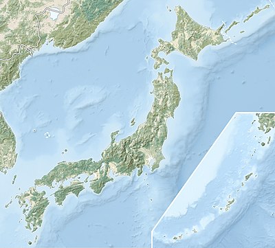
Templat:Location map Japang
Tampilan

| |||
| name | Japang | ||
|---|---|---|---|
| x | 100*(({{{2}}}>30.90)*({{{3}}}-128.24)/(149.27-128.24)+({{{2}}}<=30.90)*({{{3}}}-110.43)/(131.44-110.43)) | ||
| y | 100*(({{{2}}}>30.90)*({{{2}}}-45.86)/(30.02-45.86)+({{{2}}}<=30.90)*({{{2}}}-39.54)/(23.71-39.54)) | ||
| image | Japan location map with side map of the Ryukyu Islands.svg | ||
| image1 | Japan natural location map with side map of the Ryukyu Islands.jpg | ||

| |||
| image2 | Japan bluemarble location map with side map of the Ryukyu Islands.jpg | ||
[buat]  Dokumentasi templat
| Penyunting dapat melakukan uji coba pada halaman bak pasir (buat | cermin) dan kasus uji (buat) templat ini. Kategori dan pranala antarbahasa harap ditambahkan pada subhalaman /doc. Subhalaman templat ini. |
