
Berkas:Nepal adm location map.svg

Ukuran nan usali (Berkas SVG, 1.100 × 721 piksel, ukuran berkas: 403 KB)
Ikhtisar
| Katarangan |
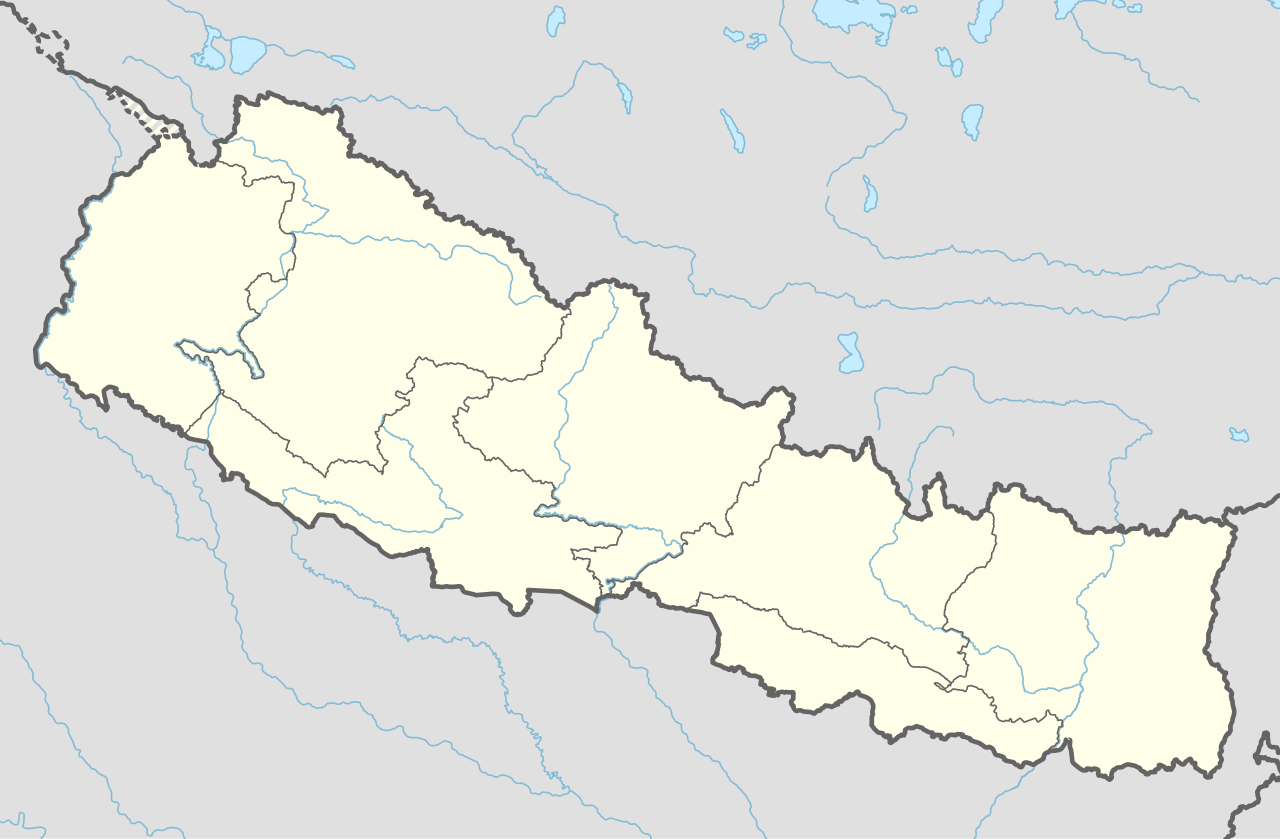
Deutsch: Positionskarte von Nepal
English: Location map of Nepal including the 7 provinces
|
||||||||||||
| Tanggal | |||||||||||||
| Sumber |
Own work using:
|
||||||||||||
| Pambuek | NordNordWest | ||||||||||||
| Versi lain |
|
||||||||||||


|
This map has been made or improved in the German Kartenwerkstatt (Map Lab). You can propose maps to improve as well.
|
Lisensi
Usage of this file with:

explanatory notes: Legally binding is only the full legalcode. For a free usage I recommend to respect the following licence conditions:
1. Provide my name as given above: NordNordWest,
2. a copy of, or the URI for, the applicable license: https://creativecommons.org/licenses/by-sa/3.0/de/legalcode,
3. the title of the work,
4. in the case of an adaptation, a credit identifying the use of the work in the adaptation.
This license and the rights granted hereunder will terminate automatically upon any breach by you of the terms of this license. Any of the above conditions can be waived if you get permission from the copyright holder. If you have questions or wish differing conditions, please contact me through nnwest or my discussion page ![]() t-online.de
t-online.de
- Sanak bebas:
- untuak babagi – untuak manyalin, manyebarkan, jo mangirimkan karya
- untuak mancampua – untuak mangadaptasi karya
- Di bawah kondisi barikuik:
- atribusi – Sanak musti maagiah atribusi karya ko jo caro nan ditantuan dek pambuek atau pamacik lisensi (tapi indak jo caro apo pun nan mancaminkan Sanak dipaso atau panggunoan Sanak pado karya tasabuik).
- babagi sarupo – Kok Sanak maubah, mangganti, atau mambuek turunan dari materi ko, Sanak musti manyebaluaskan jariah Sanak di bawah lisensi nan samo jo materi asali.

Riwayaik berkas
Klik pado tanggal/wakatu untuak mancaliak berkas pado maso tu.
| Tanggal/Wakatu | Miniatur | Dimensi | Pangguno | Komentar | |
|---|---|---|---|---|---|
| kini ko | 3 Juni 2020 00.59 | | 1.100 × 721 (403 KB) | NordNordWest | corr |
| 23 Maret 2020 00.13 |  | 1.100 × 721 (401 KB) | NordNordWest | corr | |
| 20 Nopember 2019 23.50 |  | 1.100 × 721 (398 KB) | NordNordWest | corr | |
| 3 Juni 2018 04.07 |  | 1.100 × 721 (399 KB) | NordNordWest | == {{int:filedesc}} == {{Information |description= {{de|1=Positionskarte von Nepal}} {{en|1=Location map of Nepal}} {{Location map series N |stretching=114 |top=31.0 |bottom=26.0 |left=79.8 |right=88.5 }} |source={{Own using}} * United States National Imagery and Mapping Agency data |date=2018-06-02 |author={{U|NordNordWest}} |permission= |other_versions= }} {{Kartenwerkstatt}} == {{int:license-header}} == {{User:NordNordWest/LicenceMap}} Category:Location maps of Asia (series N) [[Cate... |
Pamakaian berkas
Laman nan mamakai berkas ko:
Pamakaian berkas global
Wiki nan mamakai berkas ko:
- Pamakaian pado ab.wikipedia.org
- Pamakaian pado af.wikipedia.org
- Pamakaian pado an.wikipedia.org
- Pamakaian pado azb.wikipedia.org
- Pamakaian pado az.wikipedia.org
- Pamakaian pado ban.wikipedia.org
- Pamakaian pado bcl.wikipedia.org
- Pamakaian pado be.wikipedia.org
- Pamakaian pado bg.wikipedia.org
- Pamakaian pado bh.wikipedia.org
Calaik labiah banyak panggunoan global dari berkas ko.